Within Weather
When bad visibility creates strange targets
Fog, rain, dust and haze can change sensor contrast fast enough to create or reshape automated UAP detections.
On this page
- How visibility changes alter cameras and infrared sensors
- Near field targets in rain, fog and dust
- Why event level visibility beats daily forecasts
Page outline Jump by section
Introduction
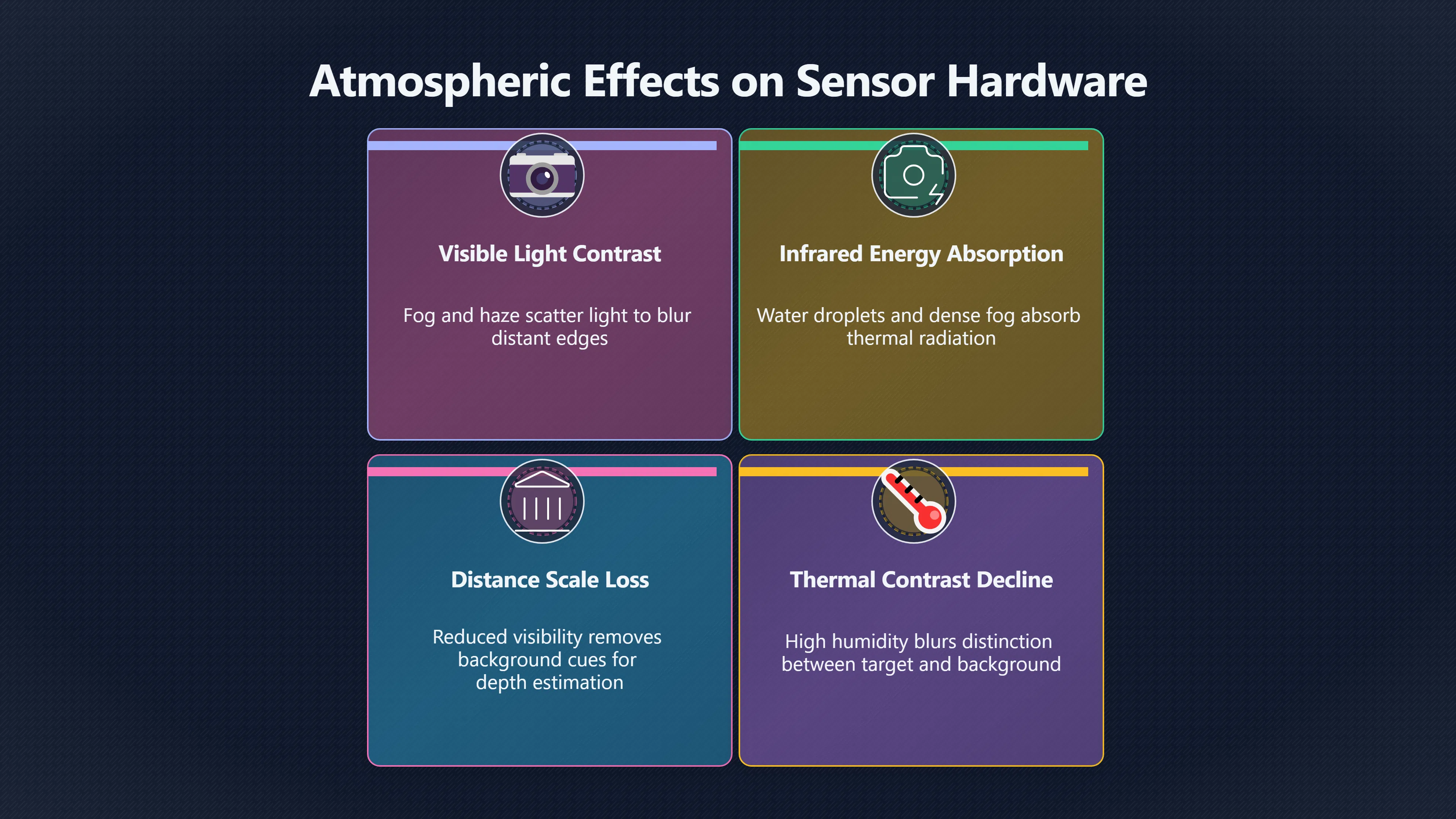
A sudden drop in visibility is one of the most important environmental causes of false alarms in automated sky-monitoring systems. Cameras and infrared sensors do not observe the sky directly; they observe light that has travelled through a changing atmosphere. Fog, rain, dust, haze and blowing spray can alter contrast, scatter light, hide parts of an object or create transient bright and dark features within seconds. An automated detector may interpret those changes as the appearance, disappearance or motion of an unusual aerial target when the underlying cause is simply a rapid change in atmospheric transmission. For instrumented UAP detection, this means visibility must be treated as an event-level measurement rather than a background weather note.

How visibility changes alter cameras and infrared sensors
Visibility affects every stage of automated detection, from image formation to the software that decides whether something deserves an alert.
Visible-light cameras rely heavily on contrast. As fog or haze thickens, distant objects lose edge definition and blend into the background because airborne particles scatter incoming light. Computer vision systems trained to identify moving points or high-contrast edges may therefore see targets fragment, expand or disappear unexpectedly. Studies of camera-based visibility estimation exploit exactly this physical relationship: decreasing visibility is measured through the reduction of contrast between known foreground and background features. [cdn.knmi.nl]cdn.knmi.nlFeasibility study of fog detection and visibility estimationThe dual target approach, which calculates visibility from contrast reduction has proved to…Read more…
Infrared systems are often more resilient than ordinary cameras, but they are not immune. Thermal imagers detect emitted infrared radiation rather than reflected visible light, allowing them to outperform conventional cameras in many low-visibility conditions. However, water droplets, dense fog and heavy precipitation still absorb and scatter infrared energy. Detection range falls, thermal contrast declines and target outlines become less reliable as atmospheric attenuation increases. Laboratory and field studies have demonstrated clear operational limits beyond which even thermal cameras become unreliable. [PMC+2MDPI]pmc.ncbi.nlm.nih.govAnalysis of Thermal Imaging Performance under Extreme…by JMR Velázquez · 2022 · Cited by 44 — In this paper, an analysis of the res…
For automated UAP detectors this creates two related risks:
- A genuine aircraft or astronomical object may fade until only fragments remain, causing unstable tracking.
- Random fluctuations in brightness or thermal contrast may briefly exceed the detector’s alert threshold, creating a false target.
Neither outcome necessarily indicates an unusual object. Both can result from changing atmospheric transmission.
Near-field targets become convincing when rain, fog or dust reduce context
Poor visibility changes more than the appearance of distant objects. It also removes the visual cues that normally help software estimate distance and scale.
In clear air, background stars, cloud texture or horizon features help distinguish a nearby insect from a distant aircraft. When fog or heavy rain removes those references, a nearby object crossing close to the camera may appear isolated against a featureless background. Motion that is actually only a few centimetres from the lens can then be interpreted as movement across a much larger volume of sky.
Several mechanisms become more common during deteriorating visibility:
- Rain droplets near the optics can briefly brighten from external lighting or moonlight and trigger motion algorithms.
- Fog droplets scatter point sources, producing expanding halos whose apparent size changes as visibility changes.
- Dust or airborne debris passing close to the camera can appear unusually bright or sharply defined while distant scenery fades.
- Wind-driven precipitation creates rapidly evolving streaks that automated trackers may temporarily classify as coherent moving objects.
The common feature is that atmospheric degradation suppresses reliable background information while increasing local optical artefacts. Detection software may therefore become more confident about the wrong object.
Infrared imagery experiences related but different effects. Rain, fog and high humidity reduce thermal contrast between targets and their surroundings. When environmental temperatures approach target temperatures, the distinction between object and background becomes increasingly ambiguous, making automatic segmentation less reliable. [PMC]pmc.ncbi.nlm.nih.govTherefore, Infrared radiation is less affected in…Read more…

Why event-level visibility beats daily forecasts
One of the easiest mistakes in UAP analysis is assuming that a daily weather summary adequately describes observing conditions.
Visibility can change dramatically over only a few minutes as fog banks form, showers pass or blowing dust crosses the field of view. Aviation meteorology treats these changes as operationally significant. METAR observations describe routine conditions, while SPECI reports are issued when important weather elements such as visibility, cloud base, precipitation or wind change beyond specified thresholds because those changes directly affect safe observation and navigation. [Bureau of Meteorology+2Federal Aviation Administration]bom.gov.aumetar speciBureau of MeteorologyMETAR/SPECIJune 18, 2024 — SPECI is used to identify reports of observations when: • conditions are below specified…
The same principle applies to automated sky-monitoring stations.
An alert generated at 21:17 may have little relationship to a weather observation issued at 21:00 if visibility collapsed during the intervening minutes. Event-level analysis should therefore combine the detection timestamp with:
- local visibility measurements,
- precipitation intensity,
- humidity, * cloud-base observations, [bom.gov.au]bom.gov.aumetar speciBureau of MeteorologyMETAR/SPECIJune 18, 2024 — SPECI is used to identify reports of observations when: • conditions are below specified… * present-weather sensors, [canada.ca]canada.caManual of Surface Weather Observation Standards…METAR contains a report of wind, visibility, runway visual range, present weather, sky…
- and, where available, camera-derived visibility estimates.
Camera-based visibility estimation has become an active research area precisely because local atmospheric transmission can vary significantly across short distances and short time periods. Systems that estimate visibility directly from the recorded imagery can provide information unavailable from regional forecasts alone. [MDPI]mdpi.comThe best performing model reached a score level of 0.89…Read more…
Why sudden visibility loss produces misleading motion
Visibility changes rarely affect an entire image uniformly.
A fog bank moving across the field of view may obscure only one side of a target. Rain shafts can selectively attenuate one portion of an image while leaving another nearly unchanged. Haze frequently develops in uneven layers.
This non-uniform attenuation creates several misleading signatures:
- targets appear to accelerate as their brightest portion shifts;
- tracks become discontinuous because detection confidence fluctuates;
- apparent shape changes occur as only part of an object remains visible;
- automated trackers may abandon one target and initialise another nearby, creating an illusion of abrupt manoeuvres.
These behaviours are familiar challenges in machine vision research for autonomous vehicles and long-range surveillance, where adverse weather substantially increases false detections unless environmental conditions are explicitly incorporated into the perception pipeline. [PMC+2arXiv]pmc.ncbi.nlm.nih.govPMCVisibility Enhancement and Fog DetectionIn mobile systems, fog, rain, snow, haze, and sun glare are natural phenomena that can be very dangerous for drivers.Read more…
For UAP detection systems, the lesson is similar: unexplained motion should not be evaluated independently of simultaneous changes in atmospheric visibility.

Designing automated detectors to resist visibility-related false alarms
A detector cannot eliminate poor weather, but it can recognise when atmospheric conditions reduce confidence in its own observations.
Useful design practices include:
- recording local visibility continuously rather than relying on regional forecasts;
- logging humidity, precipitation and present-weather measurements alongside every alert;
- lowering confidence in detections when image-wide contrast drops rapidly;
- comparing visible and thermal imagery rather than trusting either independently;
- checking whether background landmarks lose contrast at the same time the target appears;
- retaining the full environmental record so analysts can distinguish sensor artefacts from genuinely unexplained events.
Rather than treating visibility as a secondary weather variable, robust automated UAP systems benefit from treating it as part of the sensor itself. Every camera observes through the atmosphere, and rapid changes in that atmosphere can reshape what the detector believes it has seen long before any unusual aerial object needs to be considered.
Amazon book picks
Further Reading
Books and field guides related to When bad visibility creates strange targets. Use these as the next step if you want deeper reading beyond the article.
Weather For Dummies
Explains fog, rain, haze, visibility and atmospheric effects that influence optical sensors.
Light and Color in the Outdoors
Provides the physics behind scattering, contrast changes and visual effects that can create misleading targets.

Introduction to infrared and electro-optical systems
First published 1998. Subjects: Electrooptical devices, Infrared technology.

Computer Vision
First published 2010. Subjects: Computer algorithms, Bildverarbeitung, Computer vision, Image processing, Maschinelles Sehen.
eBay marketplace picks
Marketplace Samples
Example marketplace items related to this page. Use the search link to explore similar finds on eBay.

Endnotes
-
Source: cdn.knmi.nl
Title: Feasibility study of fog detection and visibility estimation
Link: https://cdn.knmi.nl/knmi/pdf/bibliotheek/knmipubIR/IR2015-05.pdfSource snippet
The dual target approach, which calculates visibility from contrast reduction has proved to...Read more...
-
Source: pmc.ncbi.nlm.nih.gov
Link: https://pmc.ncbi.nlm.nih.gov/articles/PMC9699133/Source snippet
Analysis of Thermal Imaging Performance under Extreme...by JMR Velázquez · 2022 · Cited by 44 — In this paper, an analysis of the res...
-
Source: mdpi.com
Link: https://www.mdpi.com/1424-8220/19/15/3313Source snippet
Thermal Imager Range: Predictions, Expectations, and...by D Perić · 2019 · Cited by 97 — Imaging system range defines the maximal distan...
-
Source: pmc.ncbi.nlm.nih.gov
Link: https://pmc.ncbi.nlm.nih.gov/articles/PMC11193785/Source snippet
Therefore, Infrared radiation is less affected in...Read more...
-
Source: mdpi.com
Link: https://www.mdpi.com/2073-4433/13/10/1684Source snippet
The best performing model reached a score level of 0.89...Read more...
-
Source: pmc.ncbi.nlm.nih.gov
Title: PMCVisibility Enhancement and Fog Detection
Link: https://pmc.ncbi.nlm.nih.gov/articles/PMC8150865/Source snippet
In mobile systems, fog, rain, snow, haze, and sun glare are natural phenomena that can be very dangerous for drivers.Read more...
-
Source: arxiv.org
Title: arXiv Towards Robust 3D Object Detection In Rainy Conditions
Link: https://arxiv.org/abs/2310.00944 -
Source: weather.gov
Title: metar decode key
Link: https://www.weather.gov/media/wrh/mesowest/metar_decode_key.pdfSource snippet
METAR ABBREVIATIONS24 Dec 2008 — TORNADIC ACTIVITY: Augmented; report should include TORNADO, FUNNEL CLOUD, or WATERSPOUT, time begin/end...
-
Source: bom.gov.au
Title: metar speci
Link: https://www.bom.gov.au/aviation/data/education/metar-speci.pdfSource snippet
Bureau of MeteorologyMETAR/SPECIJune 18, 2024 — SPECI is used to identify reports of observations when: • conditions are below specified...
Published: June 18, 2024
-
Source: faa.gov
Title: Federal Aviation Administration Chapter 7
Link: https://www.faa.gov/air_traffic/publications/atpubs/aim_html/chap7_section_1.htmlSource snippet
Chapter 7. Safety of FlightThe FAA maintains an extensive surface weather observing program. Airport observations (METAR and SPECI) in th...
-
Source: whitepapers.axis.com
Title: thermal cameras
Link: https://whitepapers.axis.com/en-us/thermal-camerasSource snippet
cameras - White papers - Axis CommunicationsRain, fog, and smog reduce the detection range. The rate of thermal radiation attenuation dep...
Additional References
-
Source: researchgate.net
Link: https://www.researchgate.net/publication/365282047_Analysis_of_Thermal_Imaging_Performance_under_Extreme_Foggy_Conditions_Applications_to_Autonomous_DrivingSource snippet
Analysis of Thermal Imaging Performance under Extreme...Nov 2, 2022 — In this paper, an analysis of the resilience of thermal sensors in...
-
Source: icao.int
Link: https://www.icao.int/sites/default/files/APAC/Meetings/2024/2024%20METR%20WG-13%20%26%20MET-ATM%20Seminar/MET-R%20WG-13/4-Information%20Papers/IP08_AI3_HKG_REPRESENTATIVENESS-OF-WEATHER-OBSERVATIONS-AT-HKG-INTL-APT-UNDER-THREE-RUNWAY-SYS.pdfSource snippet
MET R WG/13 – IP/08This paper discusses the factors that have been considered when selecting weather elements, specifically winds and RVR...
-
Source: canada.ca
Link: https://www.canada.ca/en/environment-climate-change/services/weather-manuals-documentation/manobs-surface-observations.htmlSource snippet
Manual of Surface Weather Observation Standards...METAR contains a report of wind, visibility, runway visual range, present weather, sky...
-
Source: wiki.ivao.aero
Link: https://wiki.ivao.aero/en/home/training/documentation/metar_explanationSource snippet
explanation | IVAO Documentation LibraryMETAR is local routine and special reports in abbreviated plain language intended for disseminati...
-
Source: aphys.kth.se
Link: https://www.aphys.kth.se/polopoly_fs/1.934189.1600690015%21/Thesis_Josefine_Ulrika.pdfSource snippet
of IR transmittance in different weather...by J CORNÉ · Cited by 5 — The infrared imaging system was shown to perform well during approa...
-
Source: researchgate.net
Link: https://www.researchgate.net/publication/381639350_The_research_on_infrared_radiation_affected_by_smoke_or_fog_in_different_environmental_temperaturesSource snippet
The research on infrared radiation affected by smoke or fog...20 Jun 2024 — Infrared thermal imaging camera as a non-contact monitoring...
-
Source: skybrary.aero
Link: https://skybrary.aero/articles/weather-observations-aerodromes -
Source: news.ncac.mn
Link: https://news.ncac.mn/uploads/bookSubject/2022-11/63772f4497d98.pdfSource snippet
on Automatic Meteorological Observing Systems at...Visibility in a METAR/SPECI must be representative of the aerodrome, which is a wide...
-
Source: swi-wiskunde.nl
Link: https://www.swi-wiskunde.nl/swi2016/wp-content/uploads/sites/3/2017/07/knmi.pdfSource snippet
Multiple methods are possible for determining an effective value for the contrast. We were not...Read more...
-
Source: anvil.so
Link: https://anvil.so/post/ultimate-guide-to-environmental-factors-in-thermal-imagingSource snippet
Ultimate Guide to Environmental Factors in Thermal ImagingJan 19, 2025 — Weather: Rain, fog, and high humidity can reduce image clarity...
Topic Tree